by Brianna Crandall — April 17, 2017 — GPS usually works great outdoors, but what if you’re disoriented in a large building such as a museum or a mall? There are no smartphone apps for indoor navigation, but new data collected by the National Institute of Standards and Technology (NIST) — and a competition to find the app developers who can make the best use of it — may help solve the problem.
A NIST-led research team spent more than 18 months collecting data from four different smartphone models to facilitate the development of indoor navigation apps. The data, which includes smartphone sensor readings, radio frequency (RF) signal strengths and GPS fixes, should help developers create better apps to assist users in finding their way inside unfamiliar buildings.
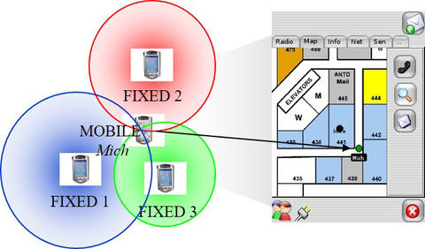
Such “indoor localization” tools could help emergency responders find victims — or each other — when seconds count. They also could assist with locating specific works of art in large museums or misplaced equipment in hospitals, factories, or warehouses, says NIST.
While GPS rarely works well indoors, NIST research into “indoor localization” could allow smartphones to pinpoint your location in large buildings. Credit: N. Moayeri/NIST
In the future, if you ask your smartphone where you are, it will create the answer using many bits of disparate information — among which are signals received from Wi-Fi access points and local cell towers that it can use to triangulate your location. It will also use its internal sensors, such as accelerometers and gyroscopes, which tell it how far you might have moved and in which direction since its last signal check. But the lack of validated testing has made their results untrustworthy.
Nader Moayeri, NIST’s principal investigator on the project, said:
The user community has expressed the need for careful testing of indoor localization solutions. Fire departments, for example, strongly desire ways to find a comrade who’s fallen inside a burning building, and who may die because he cannot determine the exit location due to low visibility from smoke or some other reason. Fire departments need to know how well these solutions are going to work before they invest their limited financial resources in them.
The people who first responders are seeking to help need a solution just as badly. The FCC estimates that more than 10,000 lives can be saved annually with better and timely location information for 911 calls placed from cellphones, many of which are made from indoor locations.
The NIST team walked the smartphones along 30 different set courses in four different buildings, including factory, warehouse and subterranean settings. At numerous predetermined locations along each course, the researchers created “timestamps” on all the phones corresponding to the times the person collecting the data was going over test points on the floors, whose locations had been professionally surveyed. The resulting data is now freely available online to the general public for developing smartphone indoor navigation apps.
To encourage their development, NIST is sponsoring a competition called PerfLoc to generate the best apps from the developer community. Developers have until August 17, 2017, to create computer algorithms that can make sense of the data and to submit their estimates of the smartphones’ locations along the courses. The team has developed a methodology to evaluate the algorithms’ performance over the Internet.
By making the data available to everyone, NIST is giving a chance to individual app developers and smaller companies that may not have the resources to collect their own data. In addition, by using the same data sets for developing the apps and evaluating their performance, it will be possible to compare the performance of the resulting indoor navigation apps.